
 Алгебра
 Английский
 Биология
 География
 Геометрия
 История
 Русский
 Обществознание
 Физика
 Химия
Химия Информатика
 Литература
 Математика
Вопрос:
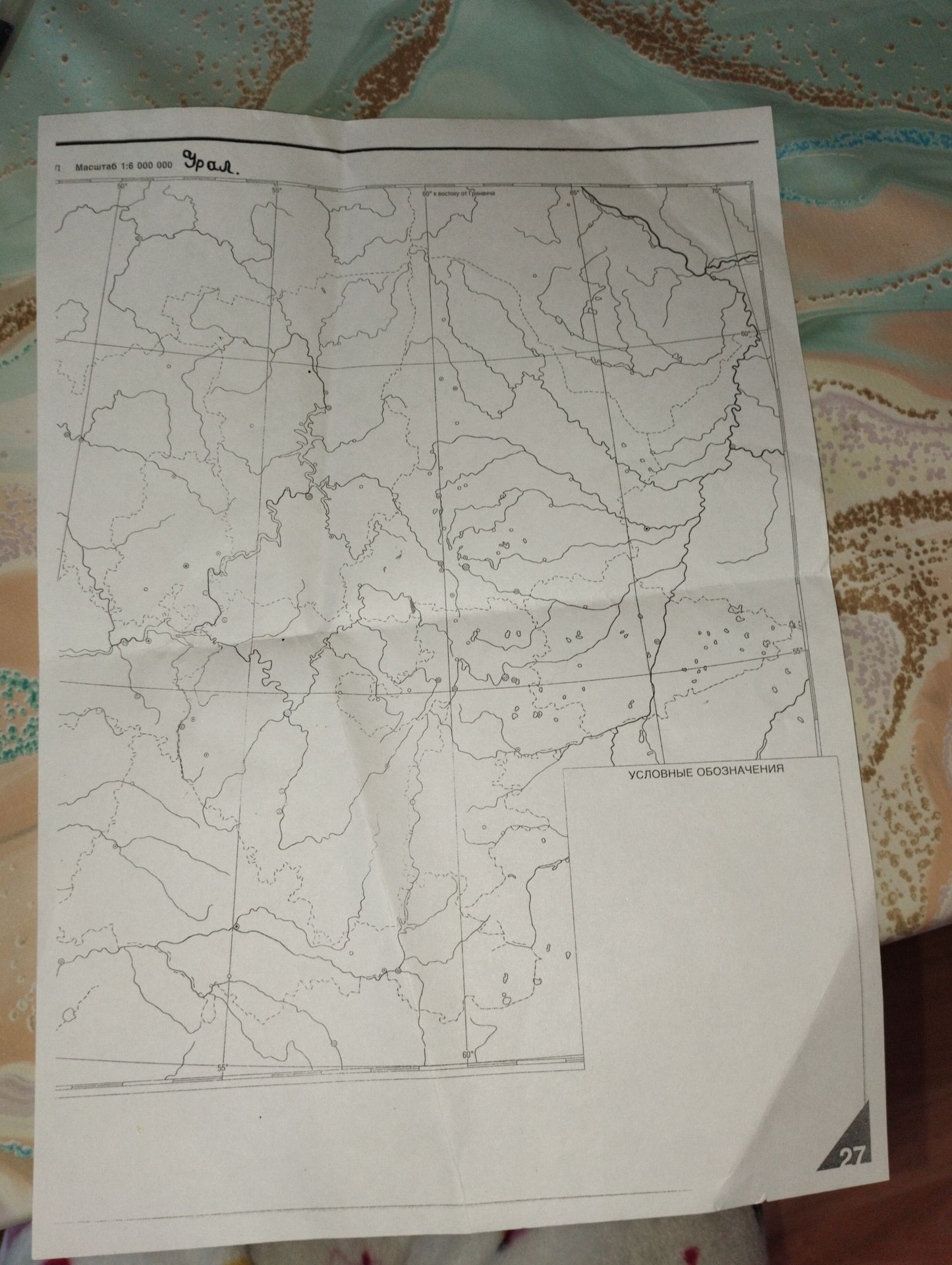
The provided image contains a map with geographical information. The task is to extract and present this information in a structured format.
Ответ:
Map Information
The map displays geographical features, including rivers and potential settlements, across a region labeled as "Урал."
Scale: 1:6,000,000
Coordinates: The map is gridded with lines of latitude and longitude. Visible longitude lines are marked at 50°, 55°, 60°, 65°, 70°, and 75° East of Greenwich. Latitude lines are also present but not explicitly numbered in the visible area.
Legend: A section labeled "УСЛОВНЫЕ ОБОЗНАЧЕНИЯ" (Conventional Symbols) is present, indicating that a key for map symbols is provided, though the symbols themselves are not detailed in the visible part of the image.
Page Number: The number "27" is visible in the bottom right corner, likely indicating the page number in a larger atlas or document.
